Based on reports available as of October 8, 2026.
The world is entering the final months of 2026 with an unusual warning from the UN weather agency: a very strong El Niño is building, and its effects will stretch well into 2027. On top of long-term global warming, that raises the odds of heatwaves, floods and droughts across multiple continents. Here is what is happening, what is natural and what is not, and what to watch next.
What the WMO is saying
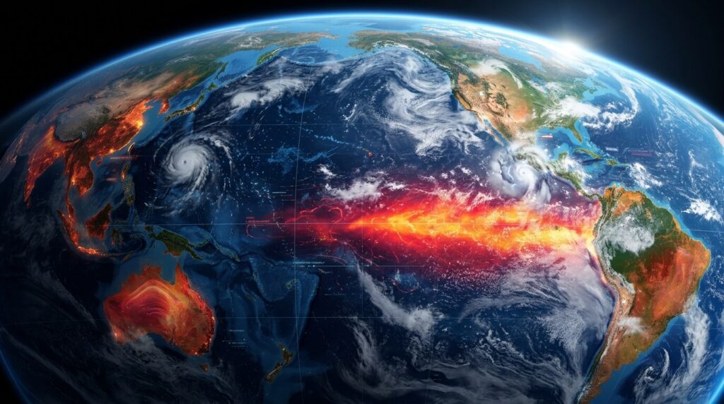
The World Meteorological Organization (WMO) said on July 3, 2026 that El Niño conditions had developed in the tropical Pacific and were expected to strengthen rapidly between July and September, increasing the chances of heatwaves, droughts and heavy rainfall in many parts of the world. Its models pointed to sea surface temperatures in key Pacific regions rising more than 2°C above normal.
By September 3, the message had grown stronger. The WMO said El Niño is “firmly established” and will intensify into a very strong event in the coming months, peaking toward the end of 2026. It put the likelihood that El Niño continues through February 2027 at “nearly 100%.” WMO Secretary-General Celeste Saulo said the world should not be surprised if the 2024 record for the hottest year is broken, noting that 2024 was boosted by the 2023-24 El Niño.
A year of record heat already
Extreme temperatures were already showing up before the El Niño peak. The WMO noted in early July that Germany had set a new national temperature record of 41.7°C during June, and that a prolonged and dangerous heatwave was affecting the central and eastern United States. The EU’s Copernicus Climate Change Service reported that May 2026 was the second-warmest May on record.
What is natural and what is human-made
El Niño is a natural climate cycle, and the WMO is explicit that it is not caused by climate change. But the two interact. Climate scientist Michael Mann has put it this way: El Niño comes and goes, while climate change keeps worsening as long as fossil fuels are burned. A warmer atmosphere holds more moisture, so storms and rainfall can be heavier, and background warming pushes heat extremes higher than they would be otherwise.
The WMO also stresses two limits to keep in mind:
- Not every region is affected the same way. Impacts depend on the strength, timing and duration of the El Niño and its interaction with other systems, such as the Indian Ocean Dipole.
- Extreme weather can and does happen even in neutral conditions. El Niño raises the odds, but it is not the only cause.
What the risks look like on the ground
The WMO and partner agencies point to a mix of hazards that vary by region:
- Heat: record-breaking temperatures are more likely in El Niño years, with risks to health, energy demand and outdoor work.
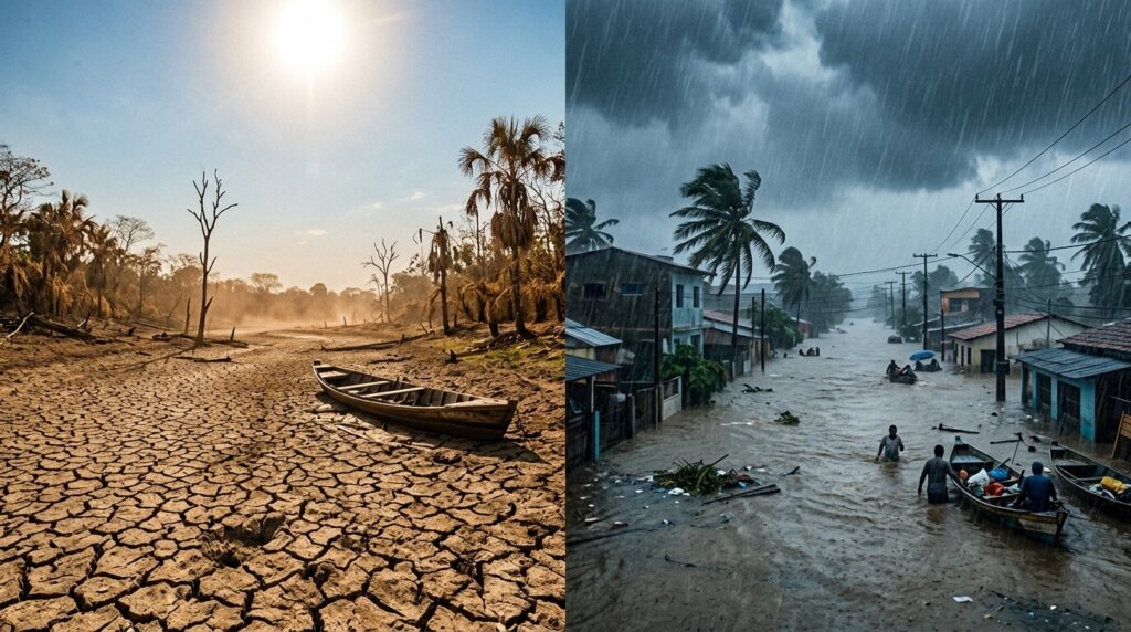
- Drought: some regions, including parts of the Amazon basin, face elevated drought risk, which affects farming, water supply and wildfire danger.
- Floods: other regions can see heavier-than-normal rainfall, putting homes, roads and crops at risk.
- Food, water and energy: the WMO says it is working with UN and humanitarian agencies to provide early warnings for climate-sensitive sectors including agriculture, health, energy and water resources.
For South Asia, El Niño has been linked in several past years to weaker monsoon rainfall, but the effect is not uniform and depends on other factors. For the latest local outlook, check your national weather service, such as the India Meteorological Department.
Why this matters for policy
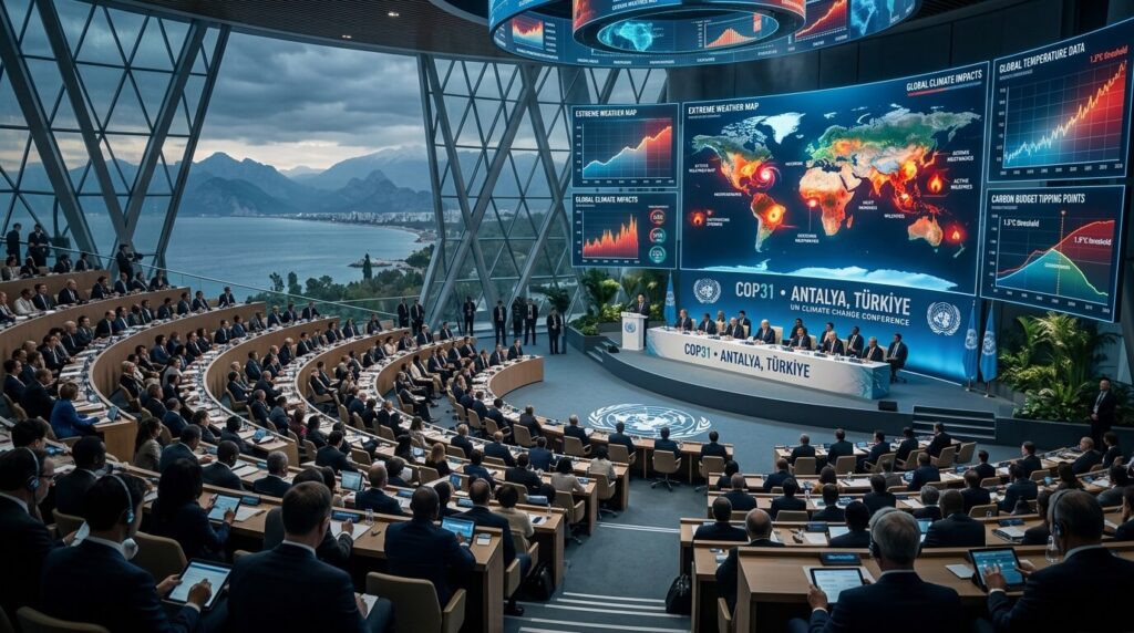
The timing adds pressure to the UN climate talks. COP31 takes place from November 9 to 20, 2026 in Antalya, Turkiye, just as El Niño is expected to peak. Climate groups argued after COP30 in Brazil that 2026 needs climate diplomacy to “reinvent itself,” in the words of Rebecca Thissen of Climate Action Network. Extreme weather headlines during the summit could sharpen debates over emissions cuts, adaptation funding and early-warning systems.
How people and governments can prepare
Preparation is mostly practical:
- Follow local forecasts and official heat, flood and storm alerts.
- Prepare for heatwaves: stay hydrated, avoid peak-sun exertion and check on elderly neighbours and relatives.
- In flood-prone areas, know your evacuation routes and keep documents and essentials ready.
- Governments and utilities should plan for peak power demand, water shortages and crop stress, using seasonal forecasts to act early.
What to watch next
- The peak of El Niño toward the end of 2026 and whether it ranks among the strongest on record
- Whether 2026 or 2027 breaks the 2024 global temperature record
- Outcomes of COP31 in Antalya on emissions and adaptation
- Regional monsoon, harvest and water-supply updates
Bottom line
Extreme weather in 2026 is not a single event but a pattern: a strengthening natural cycle layered on a warming climate. The science says the risks are rising, though impacts vary by place. The most useful response is early warning, preparation and sustained action on emissions, not alarm.
Sources
- World Meteorological Organization, Global Seasonal Climate Update and El Niño press briefings (July 3 and September 3, 2026)
- UN Web TV / UNifeed, Geneva WMO El Niño briefing (July 2026)
- Al Jazeera, “UN warns El Nino could be off the charts, strongest in decades” (September 3, 2026)
- News 1st, “Near 100% chance El Nino will continue until 2027, says WMO” (September 3, 2026)
- Free Press Journal and Rural Voice reporting on the WMO July 2026 update
- Noticias Ambientales, “El Nino 2026: scientists warn about the most intense episode ever recorded” (includes Copernicus May 2026 data and Michael Mann comments)
- Malay Mail / AFP, “From climate crunch to World Cup drama: five big things to watch in 2026”
- COP31 schedule from public event calendars